The Municipal App


The Municipal Software App is a cutting-edge solution designed to streamline various municipal operations, from managing public services to facilitating communication with residents. This versatile app aims to transform the way municipalities operate, making them more responsive, transparent, and efficient.
KEY FEATURES

Viewing Bills & Statements
Fault Reporting & Service Request Managemnt
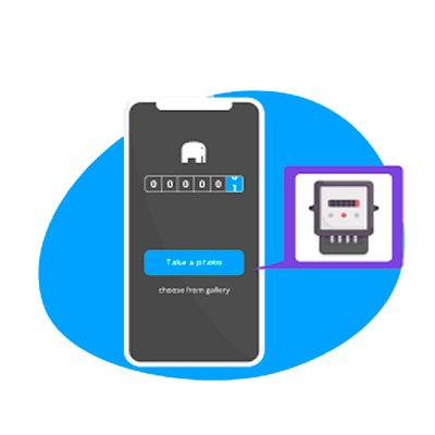
Meter Reading Submission

Community Engagement

GIS/GPS Mapping
Viewing Statements & Bills

Users can access and view their bills and statements directly within the app. This information is usually presented in a user-friendly format, and users can easily navigate through past bills and statements.
Fault Reporting and Service Request Management
Residents can submit service requests for properties, report potholes, electricity outages, burst water pipes, or waste collection issues, through the app with GEO location pin.
The Municipality will be able to identify and track areas that are being affected by issues causing service interuptions.
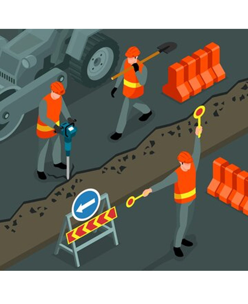
Meter Reading Submission
Residents will be allowed to enter meter reading and will be allowed to upload photo evidence of the meter readings.
The Municipality will be able to download and view meter submissions and communicate any discrepancies. they can view all submitted readings and thereafter only go to properties with outstanding readings. GIS view of property readings are available with a few clicks.
Community Engagement
- Integrated communication tools enable municipalities to engage with residents through newsletters, announcements, and broadcasts.
- Chat functionality will allow residents to connect with municipal staff or councillors.
- Users will be able to view the latest loadshedding schedule.
- There will also be an events calender which will be a great way to keeping residents informed about local activities, meetings, and events happening in your municipality.
GIS/GPS Mapping
Users can view, and interact with maps that display various layers of Geospatial data. This can include streets, land parcels, zoning information, public facilities, and more.
